
LJM Surveying lLC
-
![]()
-
![]()
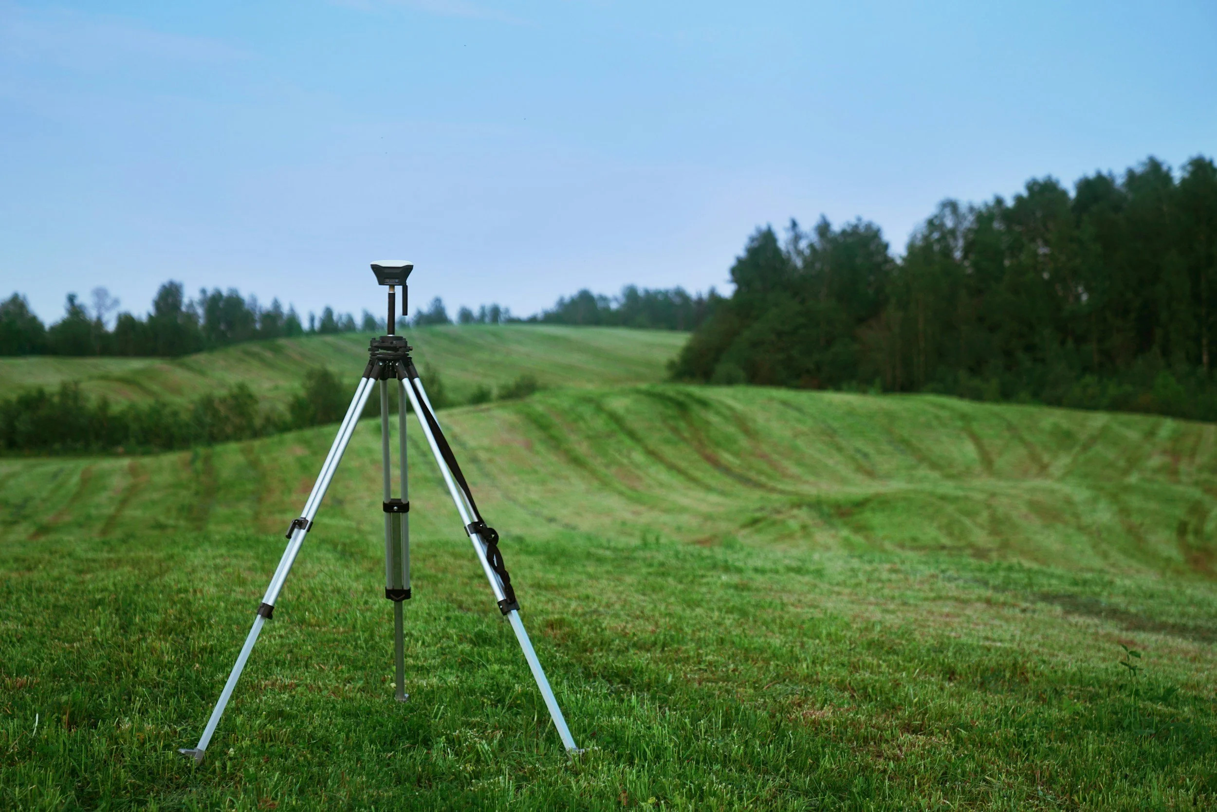
Base station.
-
![]()

Our Services

-
A Boundary Survey is the vital first step for any property transaction, structural addition, or land development project. Our professional service legally establishes the exact perimeter of your land, giving you total clarity over what you own. By combining deep historical deed research with advanced field measurement technology, we re-establish missing property corners, identify structural overlaps, and provide a legally binding professional opinion on your property’s true layout.
Key Benefits
Resolve and Prevent Disputes: Proactively settle disagreements with neighbors regarding fence lines, driveways, or landscaping boundaries.
Secure Building Permits: Satisfy local municipal requirements and zoning laws before installing fences, pools, additions, or retaining walls.
Identify Encroachments: Uncover existing structural overlaps, such as a neighbor’s shed, gutter, or driveway crossing over your property line.
Facilitate Safe Transactions: Protect your real estate investments during buys, sells, or land subdivisions by verifying title accuracy.
Map Out Easements: Clear up exactly where utility companies or public entities hold a legal right-of-way across your land.
Our Step-by-Step Process
Public Record & Deed Research: We conduct an exhaustive "chain of title" review at the local county registry of deeds. We analyze original plat maps, historical deeds, and abutting property records to understand the legal intent of the land's original layout.
On-Site Field Reconnaissance: Our expert field crews search your land for existing physical monuments, such as old iron pins, concrete posts, stone markers, or ancient fence corners.
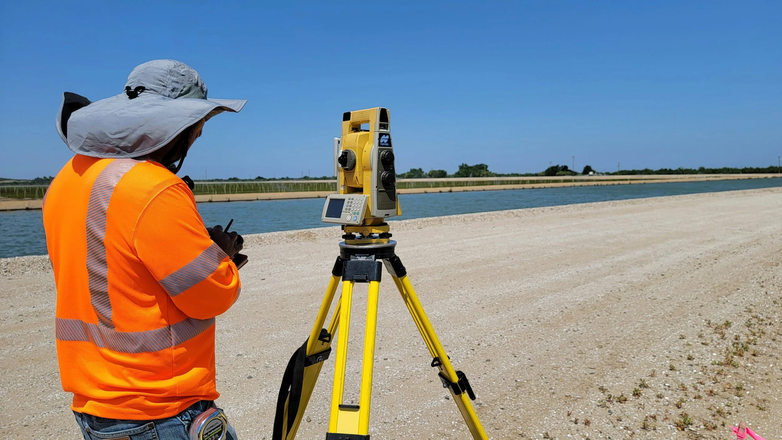
Precision Measurement & Data Analysis: Utilizing advanced GPS and robotic total stations, we take highly accurate measurements across the land. We resolve any mathematical differences between the historical deed text and the physical evidence on the ground.
Monumentation & Staking: We set or reset permanent markers (typically iron rebar with identifiable surveyor caps) at all true property corners, and place temporary wooden stakes along the boundary lines for easy visibility.
Final Survey Plat Delivery: You receive a certified, official survey map (plat drawing) detailing your property lines, structural dimensions, improvements, easements, and any discovered encroachments.
When Do You Need This Service?
Prior to installing a new fence or privacy wall
Before building a home addition, garage, deck, or driveway
When purchasing or selling a residential home or commercial lot
If you intend to subdivide a single parcel into multiple lots
When a neighboring structure appears to be crossing over your lawn
-
Accurate Land Mapping for Smarter Development
Get precise, high-quality topographic surveys to map the exact elevation, contours, and physical features of your land. We use advanced surveying technology to deliver detailed 3D data, helping you prevent costly construction errors and streamline your project planning.
Our Topographic Survey Services
Detail Mapping: Trees, utilities, structures, and roads.
Elevation & Contours: Precise ground levels and slope analysis.
Boundary Integration: Combining feature data with property lines.
Digital Delivery: Ready-to-use CAD files.
Why Choose Us?
Advanced Tech: We utilize GPS, and robotic total stations.
Licensed Experts: Every survey is signed by a certified professional.
Fast Turnaround: Dependable timelines to keep your project on schedule.
Tailored Formats: Data delivered to match the clients exact specs.
Who We Serve
Engineers: Planning accurate drainage, grading, and utility paths
Architects: Designing structures based on true terrain data..
Developers: Assessing raw land viability before major investments.
Homeowners: Planning major additions, retaining walls, or landscaping.
-
Mitigate risk and satisfy strict lending requirements with our comprehensive ALTA/NSPS Land Title Surveys. Designed specifically for commercial real estate transactions, these surveys provide lenders, buyers, and title insurers with a highly detailed, standardized map of a property. We meticulously combine public record research with precise fieldwork to uncover hidden legal and physical liabilities before you close.
What Our ALTA Surveys Uncover
Boundary Disputes: Documenting exact property limits and any overlapping claims.
Easement Locations: Mapping recorded access rights, rights-of-way, and utilities.
Encroachments: Identifying structures, fences, or bays crossing property lines.
Evidence of Use: Highlighting unrecorded physical paths or prescriptive uses.
Customizable Table A Options
We tailor your survey using specific Table A optional items to meet unique underwriter demands:
Zoning & Setbacks: Visualizing current zoning classifications and building lines.
Utility Mapping: Locating underground and overhead utility infrastructure.
Parking & Logistics: Counting parking spaces and mapping striping layouts.
Topography: Adding contour lines and elevation data to the boundary map.
Why Choose Our Surveying Team?
Strict Compliance: 100% adherence to the latest national ALTA/NSPS standards.
Lender Approved: Trusted by major financial institutions and national underwriters.
Closing-Speed Driven: Efficient project management to meet tight transaction deadlines.
Clear Deliverables: Digital CAD and high-resolution PDF formats provided.
-
Precision Field Layout for Error-Free Construction
Bridge the gap between engineering plans and physical reality with our precision construction stakeout services. We translate your digital blueprints into exact, physical markers on the job site. Our highly accurate layout work ensures your excavation, foundation, and utility crews build exactly where they are supposed to, preventing costly structural errors and re-work.
Our Layout and Stakeout Services
Rough Grading: Establishing initial slope, cut-and-fill lines, and elevation baselines.
Structural Layout: High-precision pinning for foundations, footings, piers, and columns.
Utility Staking: Marking exact paths for storm sewers, water lines, and electrical conduits.
Site Features: Layout for curbing, roadways, parking lots, and retaining walls.
Why Contractors Trust Us
Millimeter Accuracy: We utilize high-precision robotic total stations and RTK GPS.
Rapid Response: Fast mobilization to match your changing on-site construction schedules.
Plan Verification: Early detection and reporting of blueprint discrepancies before digging.
As-Built Verification: Continuous quality checks to confirm structures match approved plans.
Supporting Every Phase of Development
Commercial Buildouts: Setting precise grids for multi-story buildings and retail complexes.
Residential Subdivisions: Layout for street networks, lot boundaries, and home foundations.egins with an idea. Maybe you want to launch a business.
-
Protect Your Property with Certified FEMA Flood Elevations
Whether you are buying a new property, dealing with rising flood insurance premiums, or trying to secure a building permit, accurate elevation data is vital. We provide certified FEMA Flood Elevation Certificates that verify your structure's exact height relative to local base flood elevations. Our precise data ensures you comply with municipal regulations and can help lower your annual insurance costs.
Our Flood Certification Services
Elevation Certificates: Completing official FEMA Form for insurance rating.
LOMA Submissions: Preparing Letters of Map Amendment to remove structures from high-risk zones.
Municipal Compliance: Verifying local freeboard requirements for building permits.
Finished Construction Verifications: Documenting final elevations for new builds and major additions.
Why Choose a Licensed Land Surveyor?
Absolute Legal Precision: FEMA requires certified measurements from licensed professionals.
Insurance Savings: Accurate certificates often lead to significantly reduced premiums.
Regulatory Liaison: We handle direct communication with municipal reviewers and FEMA officials.
Seamless Process: We coordinate everything from initial field data collection to final submission.
When Do You Need a Flood Certificate?
Real Estate Closings: Required by lenders when a home falls within a Special Flood Hazard Area (SFHA).
Renovations & Additions: Demanded by local building departments before approving structural permits.
Insurance Disputes: Crucial when challenging a high-risk flood zone designation on your property.

Guiding the Way
Our Mission
To deliver precise, reliable, and timely land surveying services that empower our clients to build, develop, and protect their property investments with absolute confidence. We combine advanced technology with deep local expertise to safeguard land boundaries and support sustainable community growth.
Land Surveying since 2002
About Me
With over two decades of dedicated land surveying experience spanning from 2002 to the present, I bring an extensive, field-to-finish understanding of the surveying profession. My career is defined by a rare balance of detailed legal and historical research, high-level computational CAD design, and direct field crew leadership. Over the last 20+ years, I have successfully bridged the gap between raw field data, complex municipal regulations, and precise survey deliverables.
I take pride in overseeing projects from the beginning—conducting in-depth deed, plat, and zoning research—through the end—conducting field work, drafting and final municipal recordation. My approach is rooted in absolute accuracy, whether I am adjusting complex traverses, building precise CAD drawings, or calculating layouts for civil infrastructures. Beyond the calculations, I serve as a vital communication liaison, proactively collaborating with design engineers, clients, municipal reviewers, and site superintendents to resolve plan discrepancies before crews ever hit the field.
Key Expertise & Capabilities
Comprehensive Survey Production: Proven expertise generating high-density Topographic, Boundary, Route, and Physical surveys, as well as complex ALTA/NSPS Land Title Surveys adhering to strict client-specific Table A items and title report exceptions.
Construction & Infrastructure Calculations: Advanced proficiency computing precise CAD points for heavy civil and commercial layouts, including storm/sanitary structures, building envelopes, curbs, vertical curves, and rough/fine grading.
Project & Crew Leadership: Direct responsibility for managing and guiding field crews in data collection, coordinating daily schedules with clients and engineering staff, and performing rigorous on-site drawing verification.
Regulatory Compliance & Subdivision Plats: Deep knowledge of local/state codes and FEMA regulations to draft legal descriptions, produce certified flood elevation certificates, and develop multi-lot subdivision, re-subdivision, and lot-line vacation plats.
Municipal Navigation: Experienced in submitting technical plats to local authorities, systematically addressing review comments, and driving projects through to successful recordation.
Featured Project Highlights
My career has helped in the successful execution and oversight of major commercial, municipal, and residential projects, including:
Commercial Portfolios (98 7-Eleven Sites): Surveying work includes initial topographic/ALTA surveys, resubdivision plats, easement exhibits, right-of-way dedications, utility/stormwater as-builts, and final construction stakeout.
Municipal Infrastructure (49 City of Norfolk Projects): Coordinated comprehensive boundary and topographic surveys to support in-house municipal engineering for critical city-wide drainage improvements and right-of-way dedications.
Large-Scale Residential Development (The Preserve at Lake Meade, Phases 1–6): Led boundary/topographic operations for in-house drainage engineering, easement exhibits, utility/stormwater as-built verifications, and comprehensive construction staking.
Environmental & Utility Mapping (City of Virginia Beach Stormwater Inventory): Executed complex stormwater inventory and asset evaluation mapping for Watersheds 6, 13, 14, 15, and 29.

Our
Team
-

John Miller LS
Owner/Managing Member
-
-
-